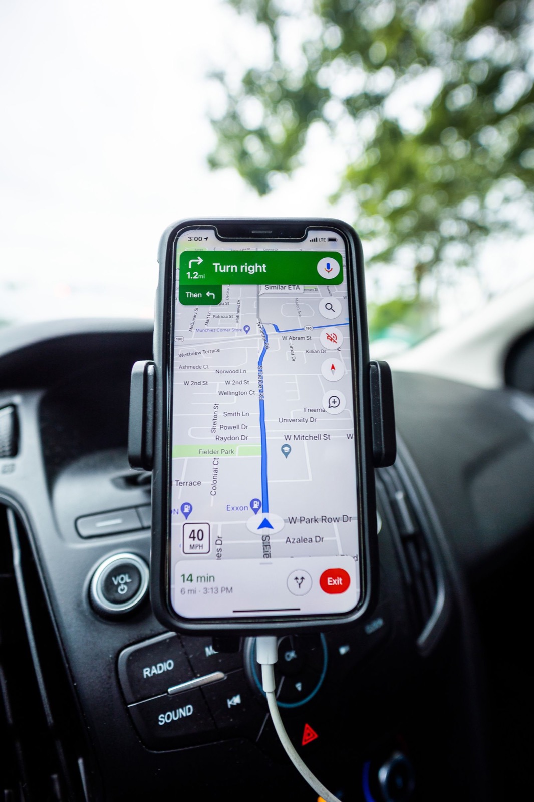
A reunion location is more than an address field. Families need a recognizable venue, an accurate map pin, parking guidance, accessibility notes, and a clear distinction between the hotel, welcome event, picnic, and banquet locations. GatherKin connects event location entry with Google Maps tools so organizers can confirm a known place visually.
What organizers can do
Organizers can search for a known address or place, review the embedded map, and adjust the selected location. This reduces spelling errors and helps the committee confirm that the public reunion page points to the intended venue rather than a similarly named location.
What families still need
Add venue-specific notes that a map cannot provide: pavilion number, parking lot, entrance, check-in table, gate code, accessibility route, shuttle pickup, and a day-of contact. For multiday reunions, put each itinerary location beside the relevant activity.
Verify before publishing
Map listings can change. Confirm the official venue address, reservation name, entrance rules, operating hours, permits, and accessibility directly with the venue. Treat the embedded map as navigation help, not proof of a reservation.
Frequently asked questions
Can organizers select a reunion location from a map?
Yes. GatherKin supports known-place search and an embedded map so an organizer can review and adjust the event location.
Do relatives need the Google Maps app?
No. The event page is browser-based, although a household may choose to open directions in its preferred mapping app.
Should the organizer still provide written directions?
Yes. Add parking, entrance, pavilion, accessibility, and check-in instructions that are not obvious from the map pin.